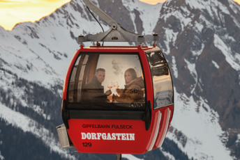
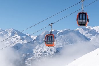
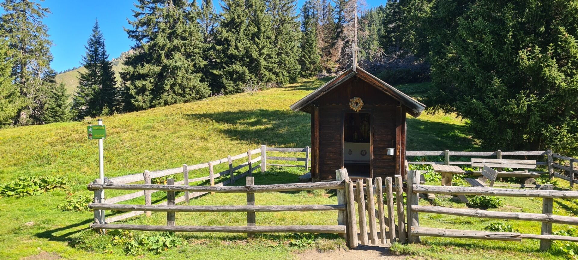
a) From the middle station of the Dorfgastein cable car, a ski route leads up to the left. After ten minutes, the forest path forks off to the left towards the Arltörl. After a short walk through the beautiful high forest (here you will also find a nature trail on the fungous life of the region) you reach the Heumoosalm. Carry on to the Simonbauernhütte (the second hut), towards the right up gently over meadows and sparse high forest regions to the Arltörl. The hiking stamp is by the chapel. b) A footpath called the Biotopensteig, leds northwards from the Fulseck top station and takes you for the most part along the mountain ridge, past a number of little ponds - the habitat of several rare species (e.g. salamander) - and gently down to the Arltörl. Lovely view all along the route. From the Arltörl, walk down eastwards to the Berglandhaus and from there, carry on along the track to Grossarl. You can obtain a hiking stamp from one of the hoteliers in Grossarl. Return by bus to St. Johann/Pongau and then take the train back to Dorfgastein.
-
Region
-
Experiences
-
Vitality
-
Events
-
Service
