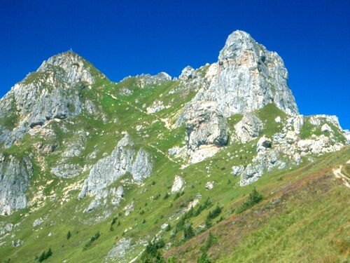
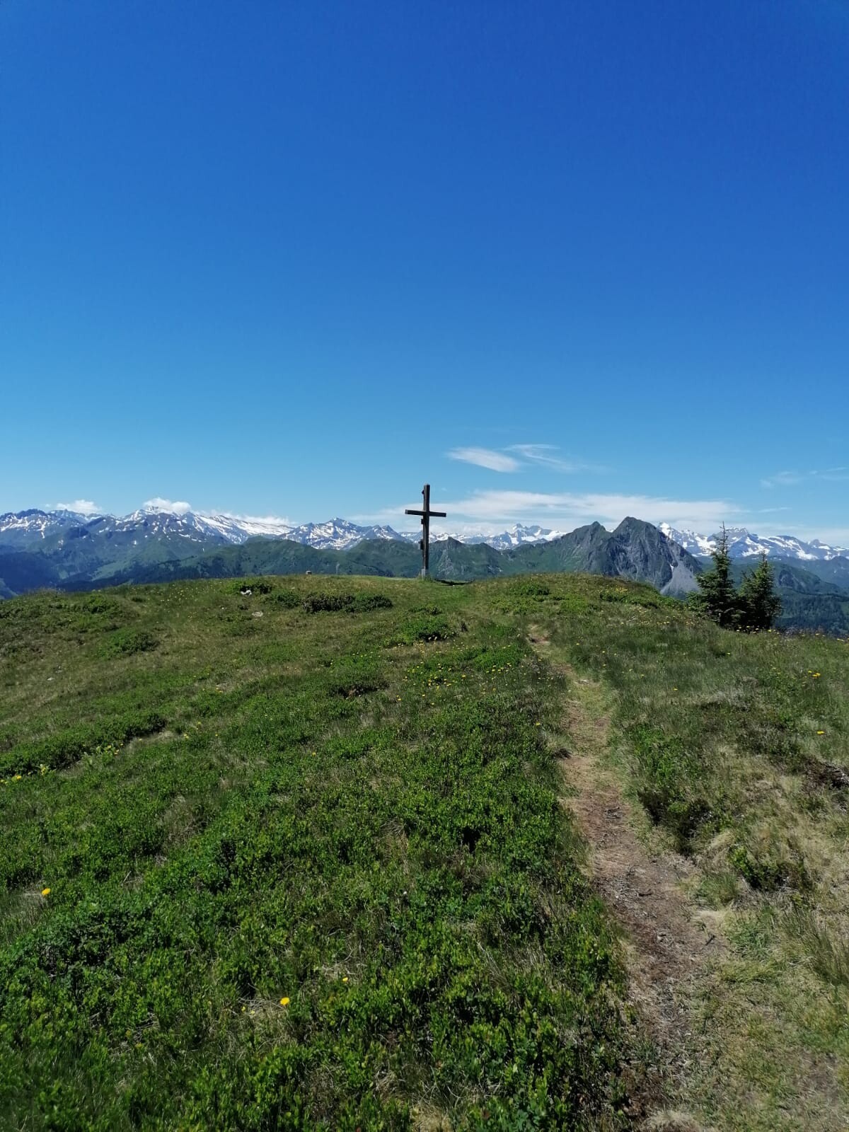
The pointed peak of the Schuhflicker characterises the eastern flank of Dorfgastein. Starting from the Gipfelbahn-Fulseck mountain station, you hike along the Biotopensteig trail to the Arltörl. The trail winds its way up to the summit cross, the Schuhflicker. Always accompanied by fantastic views of the Hochkönig, the Bernkogel, the Großglockner and the Ankogel group. The name Schuhflicker is based on an old legend which says that a cobbler was punished for his blasphemy and turned to stone.
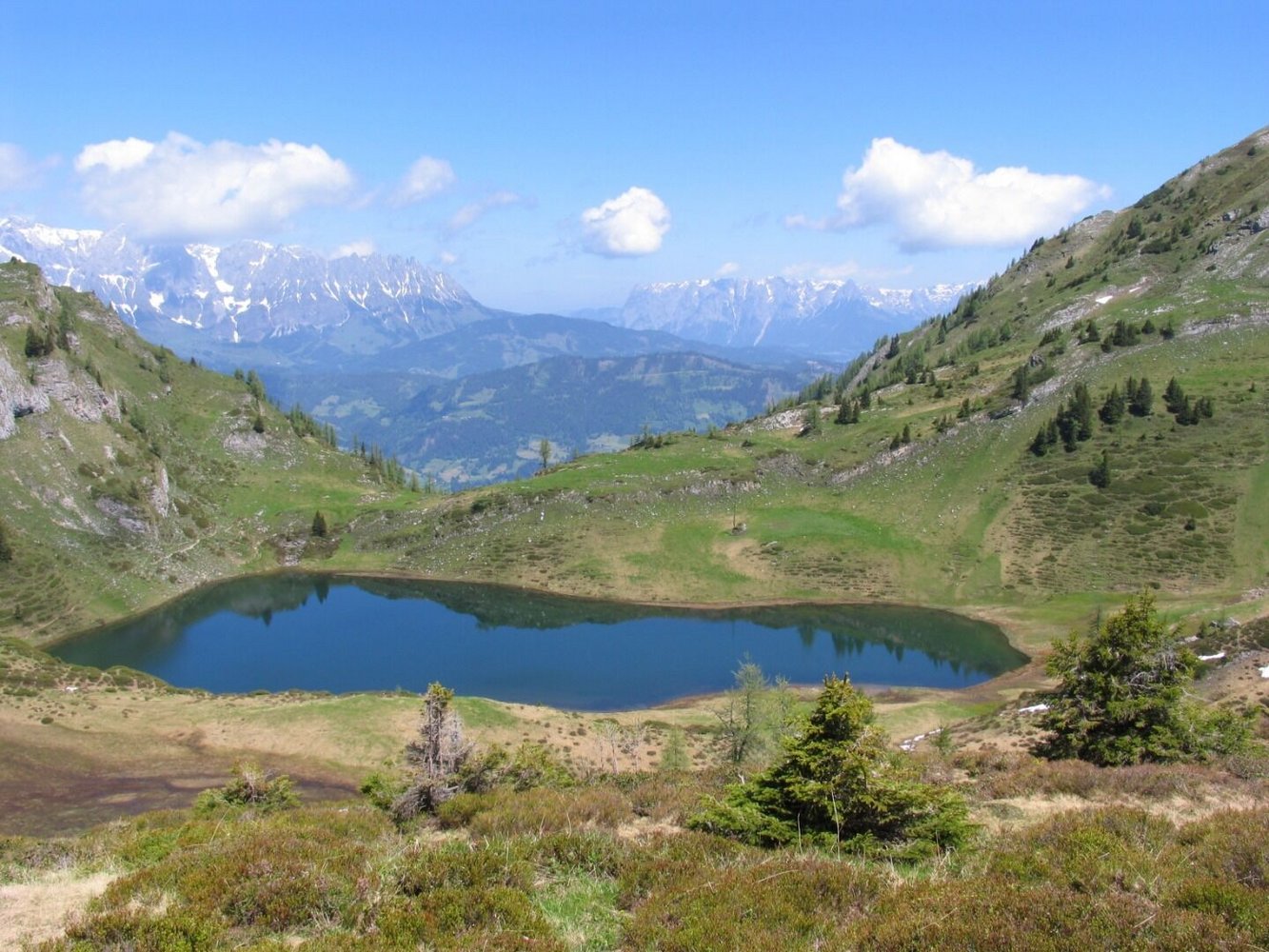
The descent is via the Schuhflicker lake to the Urkübl and past the Paarseen to the Gasteiner Höhe. A hiking trail leads via the Steiner Hochalm (serviced) to the Hauserbauer hiking starting point and further downhill to Dorfgastein to the valley station/parking lot of the Fulseck summit lift.
Translated with DeepL.com (free version)