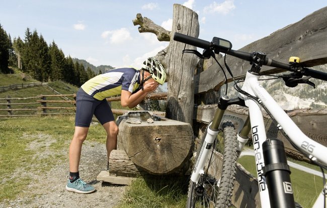
Starting from the municipal park in Dorfgastein (hiking and biking starting point), the route follows the village road to the tourism office. It briefly joins the bike path before turning left after about 100 meters to cross the main road (bike crossing) and the Unterberger Bridge. The route then continues right along the road until the access road to Strohlehenalm branches off to the left.
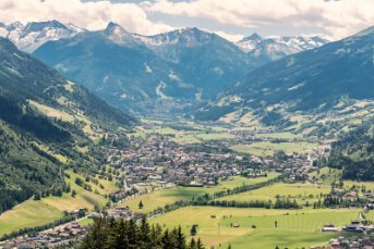
The forest road winds uphill through the woods, providing pleasant shade on hot summer days. A highlight of the tour is the stunning view over the village. At the junction to Strohlehenalm (not serviced), take the forest road to the left and descend toward Dorfgastein. The route leads over the Dorferberg, returning to the starting point.
Tip:
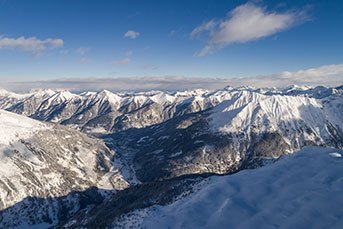
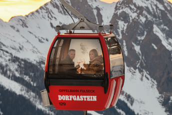
The descent from Dorferberg offers breathtaking views of Dorfgastein and the eastern valley, including the village’s local mountain, Schuhflicker, and the adventure mountain Fulseck. At the end of the tour, a relaxing stop at one of the many restaurants along the village road in the town center is highly recommended.
