Palfnersee

Best season:
June July August September October

Overview

🏀
Walking time
02:30 h
🔖
Route Length
5 km
🞽
Difficulty
Middle
🜏
altitude meters uphill
300 hm
🔲
altitude meters downhill
300 hm
🞍
highest point
2097 m
webx_gs_public_transport


In the ‘Map & POIs’ section above

this box, you can see the bus stops in the immediate vicinity of the tour's

starting point. With the Guest Mobility Ticket, you can enjoy free travel on all

public transport throughout the Gastein Valley and the Salzburg region. You can

obtain the ticket from your host.


Route Start

Top station Graukogellift, Bad Gastein

Route End

Top station Graukogellift, Bad Gastein

Best Season
June July August September October

Altitude Profile

Description

Hikes to Gastein's mountain lakes!

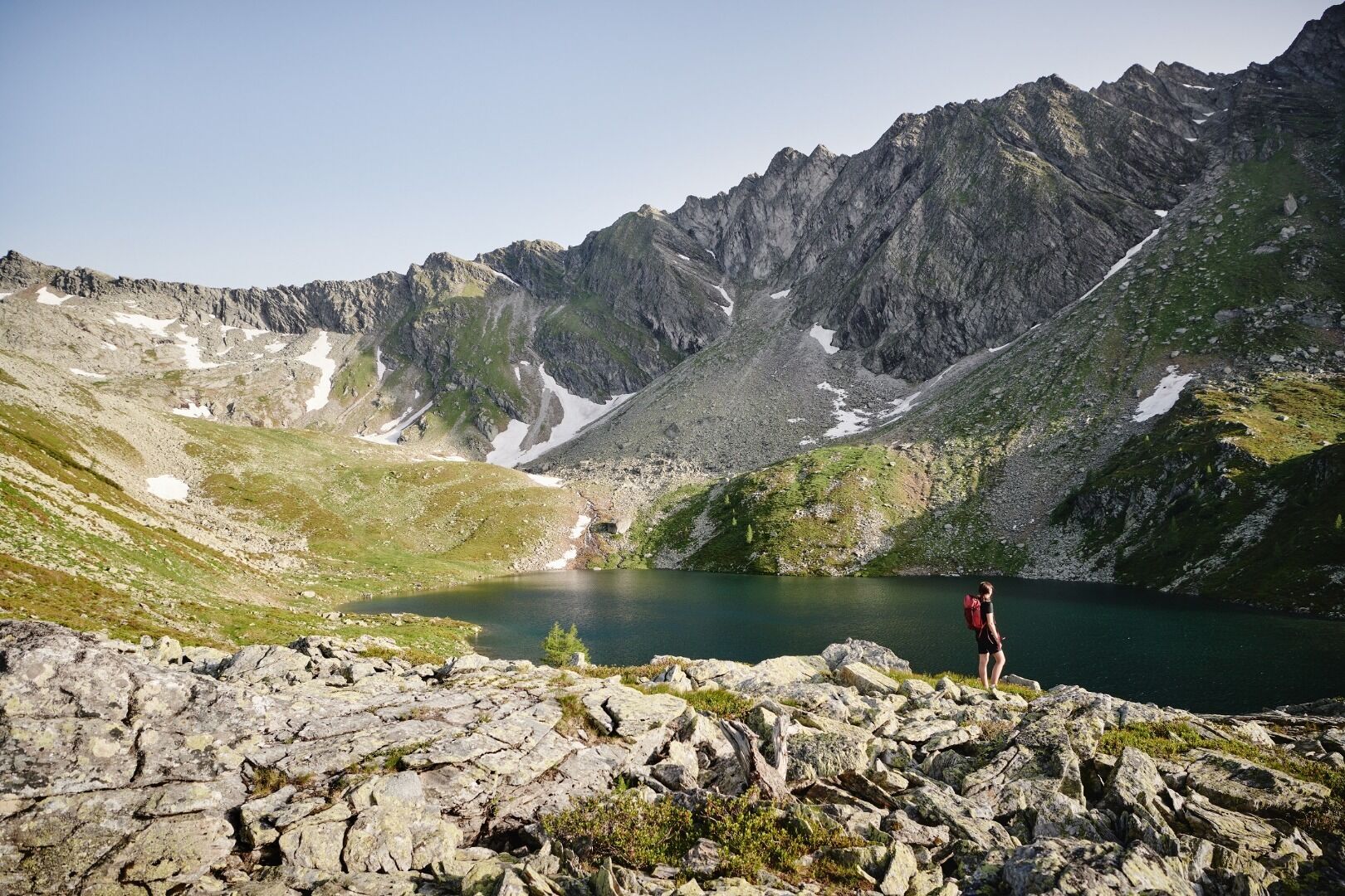
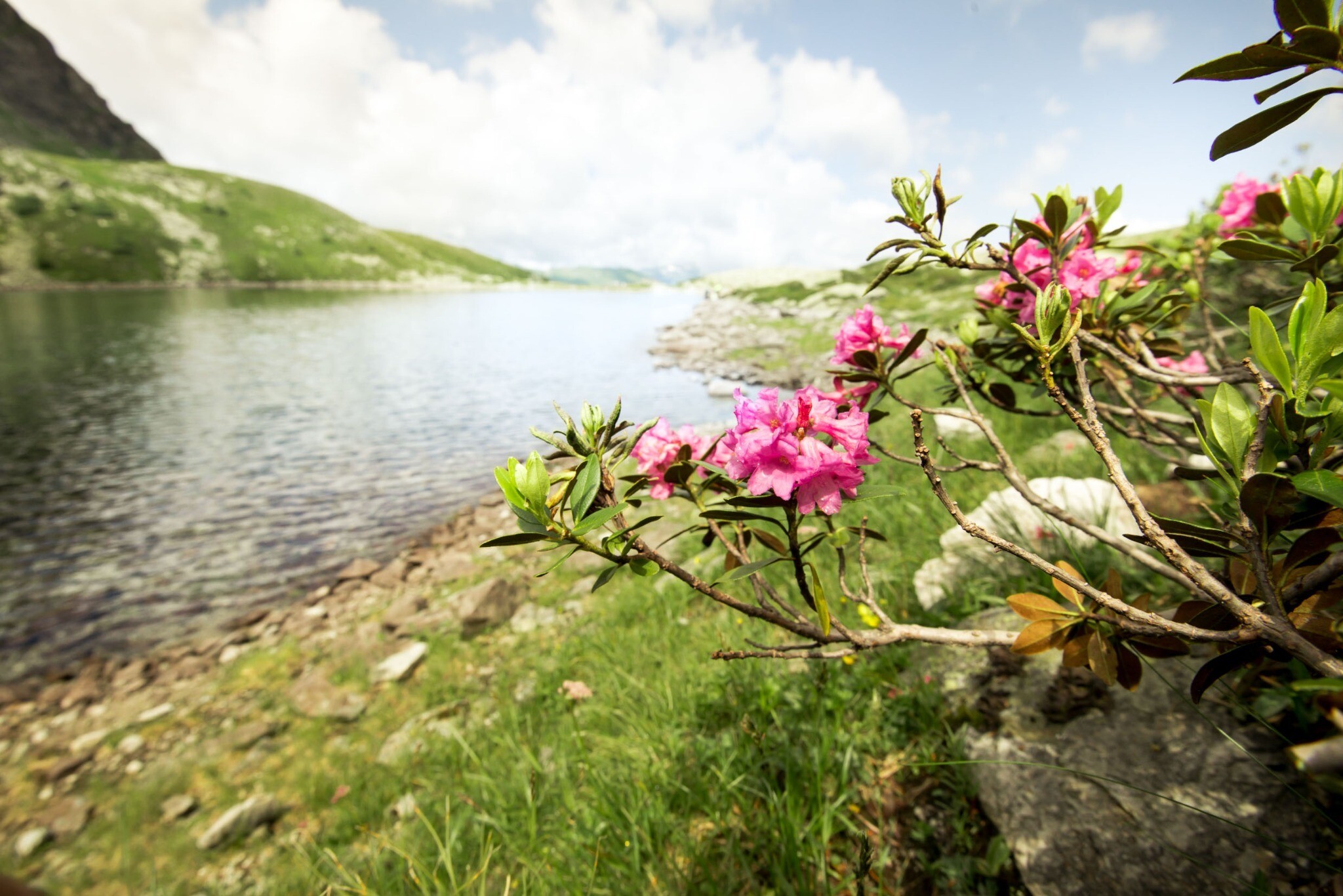
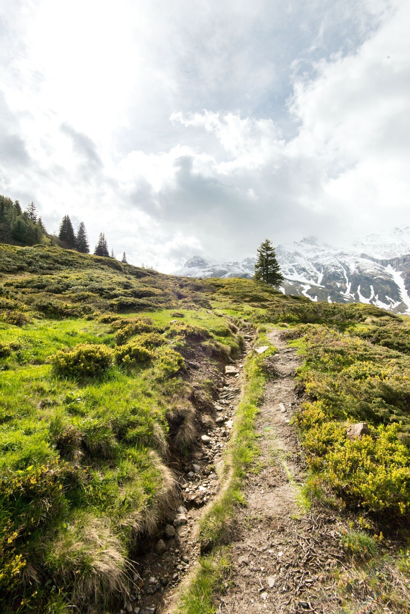
From the Graukogel mountain station, you will hike through 250-300 year old arolla pine trees and via a narrow path bringing you to the Palfnersee. The alpine lake is located at the foot of the steep rocky mountainside of the Feuersang. The surrounding peaks are reflected in the crystal-clear water.