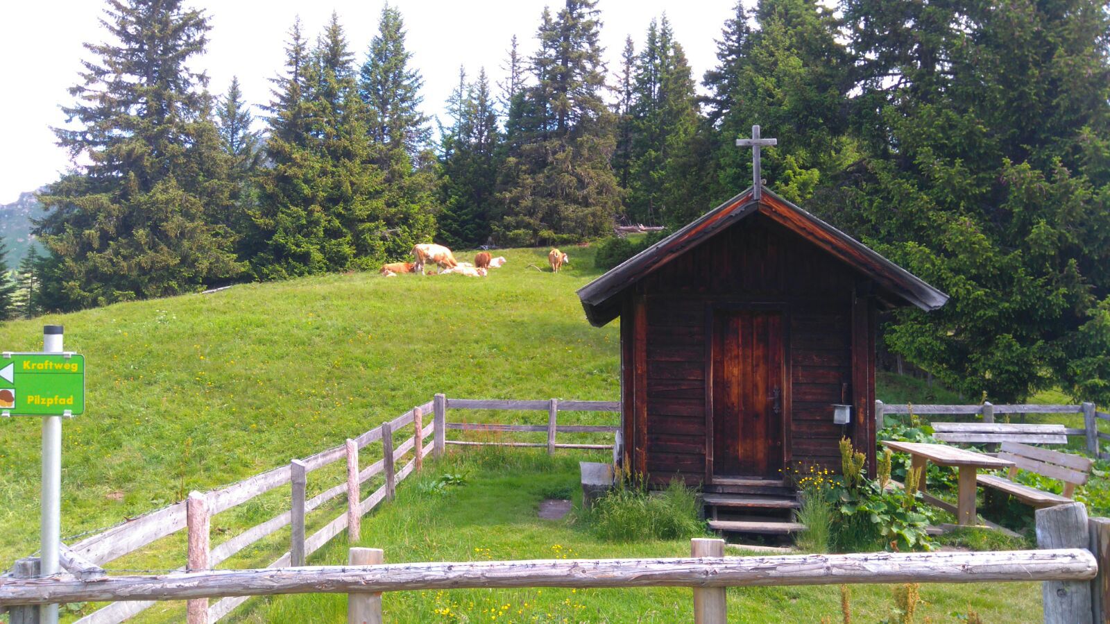
Ride with the Fulseck summit cable car to the mountain station. From there, the hiking trail leads in a northerly direction, mostly directly along the ridge ridge, along many small ponds, some of which provide habitats for rare animals (salamanders, newts), with a wonderful view, gently downhill to Arltörl. This trail is also called the Biotope Trail or the Power Places Trail. On the descent towards Dorfgastein, take the path to the Grabnerhütte or the Pizlehrpfad at the Heumoosalm. Refreshment stops: Gipflstadl Fulseck, Heumoosalm, Grabnerhütte