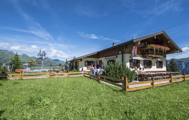
Beginning at the trail head for hikers in Angertal, you will walk alongside the Angerbach in the direction of the valley head, until you come to the turn-off for the Miesbichlscharte. The trail leads through a spruce forest and past small streams, until just below the Jungeralm. The hike now follows the same line as the winter ski slopes up to the Stubneralm. You should definitely take some time to sit down on the bench behind the Stubneralm. From there, you have phenomenal views of Bad Hofgastein extending all the way to the Hochkönig Massif in the north. The return hike down to Angertal takes you either back via the ski slope or along a forest path.
-
Gastein Valley
-
Ski & Mountain
-
Health & thermal spas
-
Experiences & Events
-
Service
-
My Gastein experience