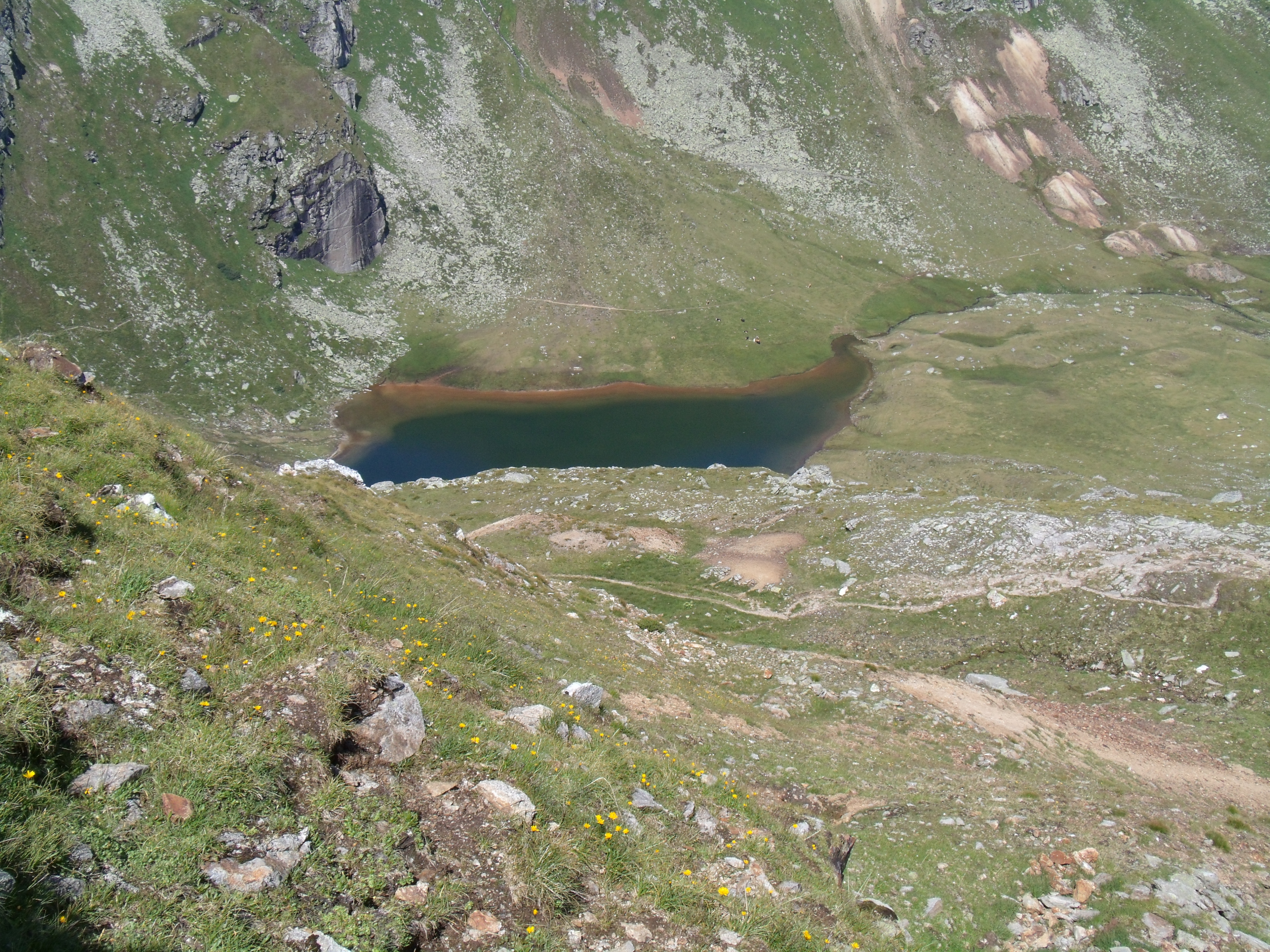
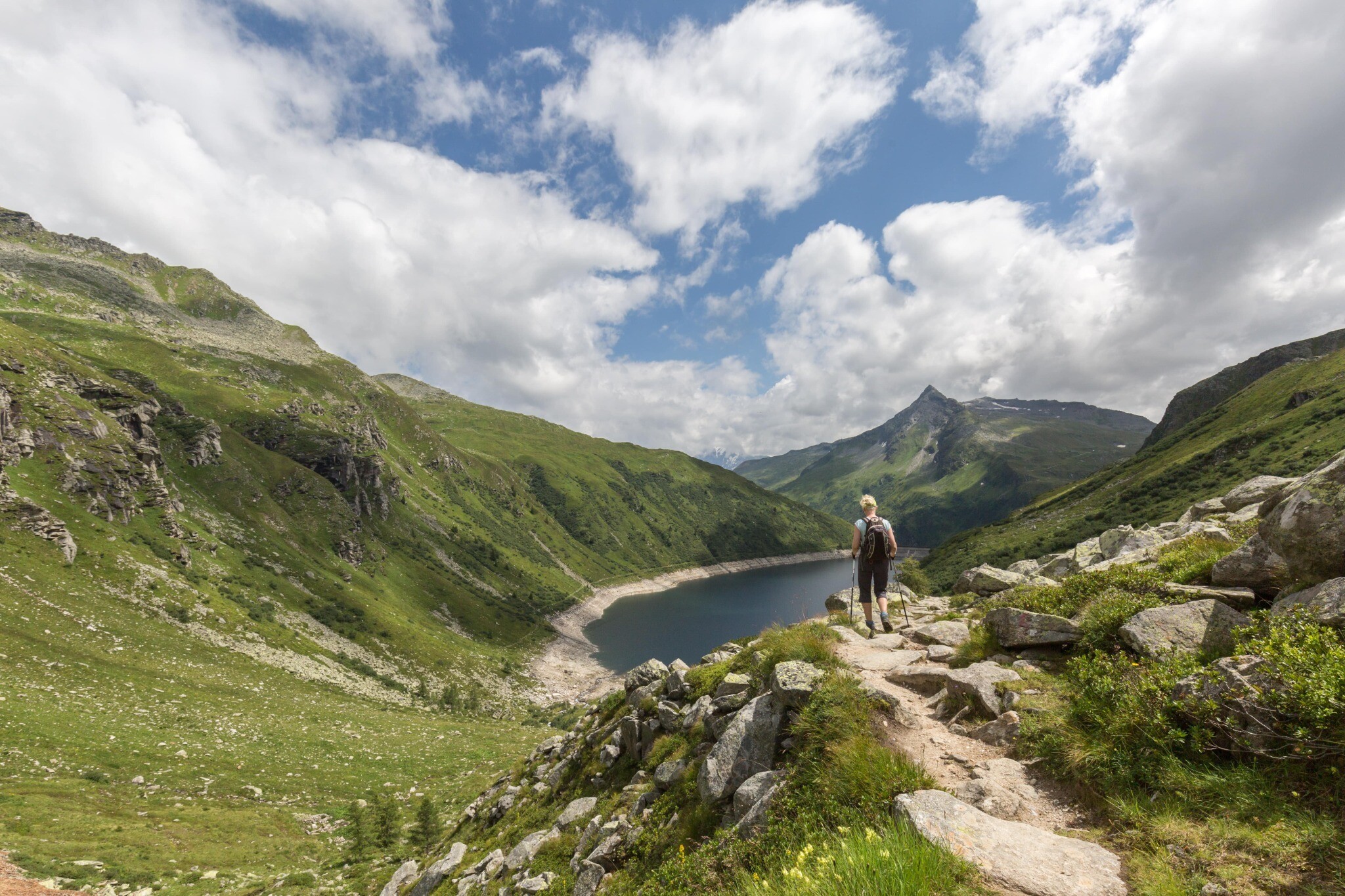
As the name “Silberpfennig” suggests (“Silver Penny”), silver was once mined here. Setting out from the main trail head for hikers in Sportgastein, the path will lead you to the Bockhartseehütte. Alongside the Lower Bockhartsee, you will hike up to the Upper Bockhartsee, then to the Bockhartscharte, where you can enjoy wonderful views of the Sonnblick, the Grossvenediger and the Grossglockner. The path continues up to the summit cross on the Silberpfennig. The panorama extends from Hohe Tauern National Park to the far north. With some luck, during this hike you will not only hear the marmots, you might even get to see one in the distance.
Vstupenky Dny jógy
-
Region
-
Zkušenosti
-
Vitalita
-
Události
-
Service