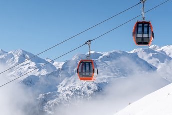
Start the tour at the Bad Gastein spa and tourism association in a southerly direction via Karl Heinrich Waggerl Straße. After the Bad Gastein municipal office, turn left at the next junction towards Windischgrätzhöhe and Schachengut. Just after Schachengut, the gravel road begins and winds in serpentines through the forest to the middle station of the Graukogel lifts. Continue past the Alm Grau Mitte to Reicheben. Here the path becomes more challenging. The forest road winds through pine forest the last few metres to the finish at the Graukogelhütte.
Biglietti Giornate di yoga
-
Regione
-
Esperienze
-
Vitalità
-
Eventi
-
Servizi
