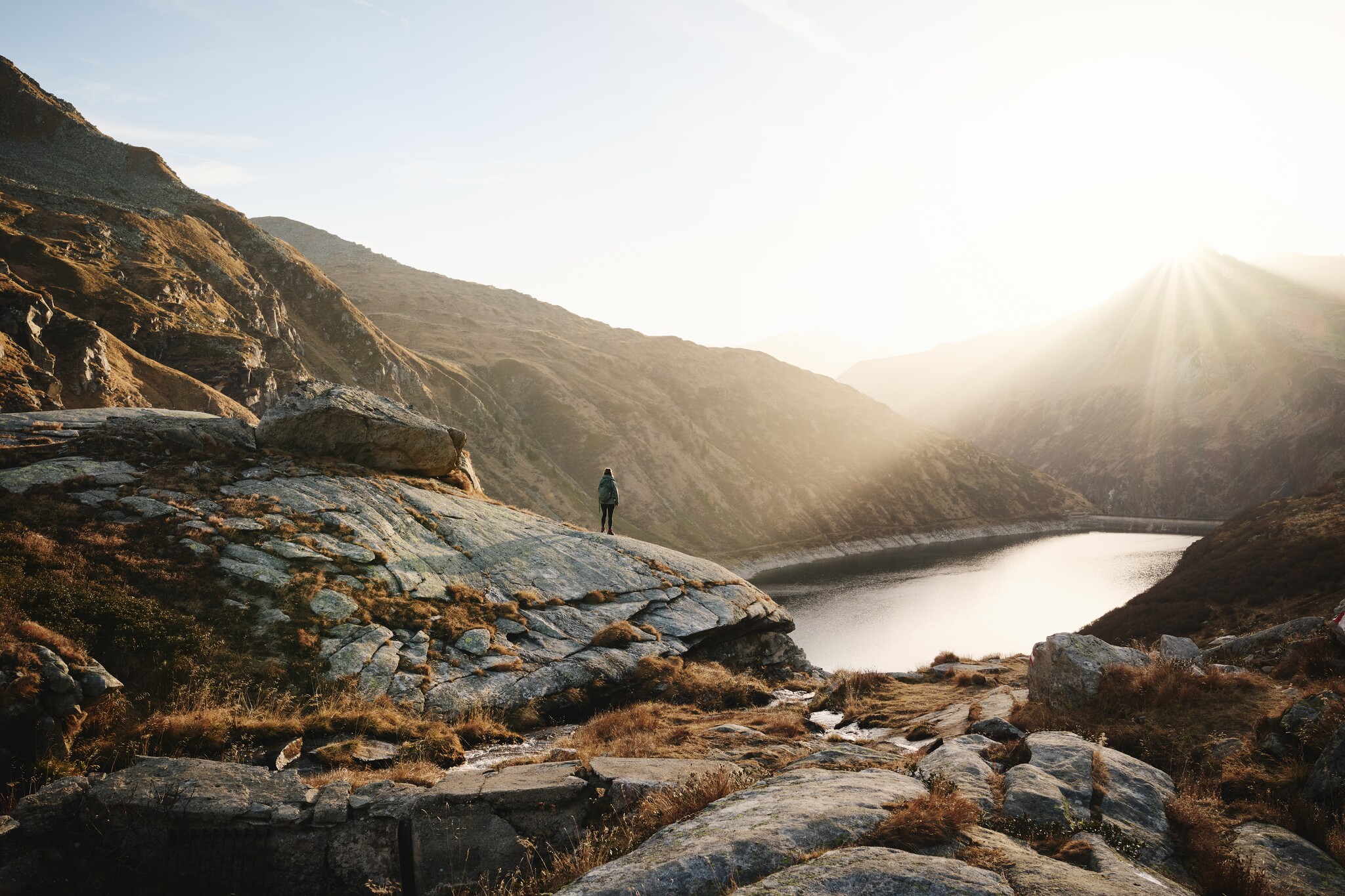
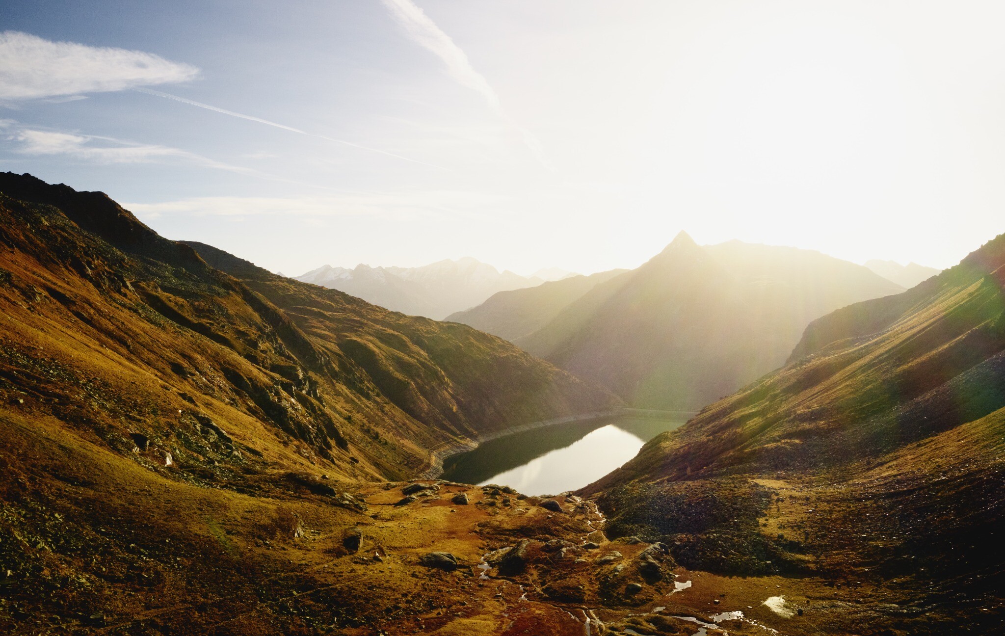
From the Bockhartsee hut, the marked trail (the former Herrensteig from the old mining days) leads across the northern slope of the Seekopf on a moderate incline to the bottom of the upper Bockhartsee (2,070 m), where the Zimburgweg trail joins from the right. On the slopes around the upper Bockhart lake you can see dumps and other traces of the old gold mining.
Vstupenky Dny jógy
-
Region
-
Zkušenosti
-
Vitalita
-
Události
-
Service