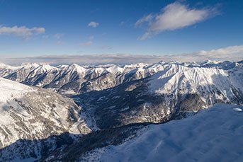
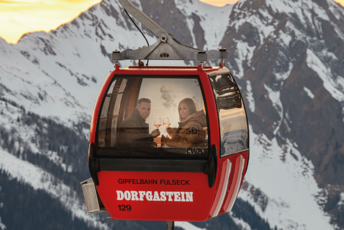
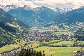
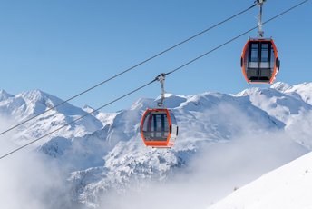
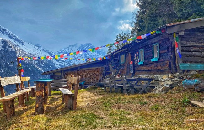
The starting point for this hike is next to the car park at the Stubnerkogel valley station, just below Landhaus am Hügel. The sunny Elisabeth Promenade leads to Böckstein – and a steep climb begins. This woodland is flanked by very special flora, while the original mountain forest of spruce, larch and pine casts a cooling shade on hot summer days. Once at the Böckfeldalm, you are certain to be fascinated by the extraordinary views of the Schareck, of Anlauftal and proud Bad Gastein. The Böcksteiner Höhenweg leads along steep grassy mountainsides to the Zittrauer Alm and the mid-station of the Stubnerkogelbahn. For those who still have some strength left in their legs, you might choose to make your way back to the valley via a beautiful path just below the lift clearing. But for those who would prefer to take off, the Stubnerkogelbahn promises a comfortable ride.
Biljetter till Yoga Days
-
Region
-
Erfarenheter
-
Livskraft
-
Evenemang
-
Service
