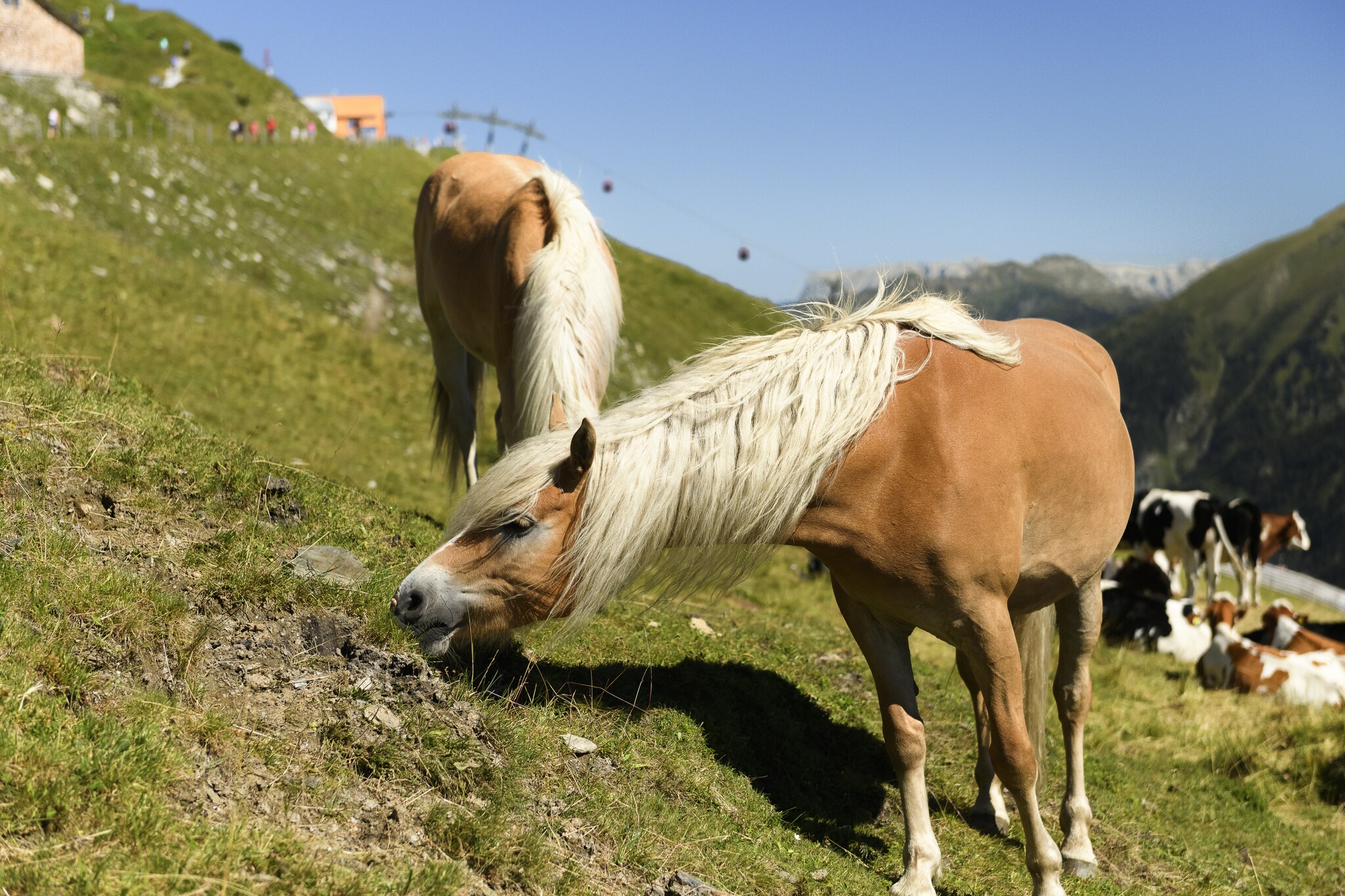
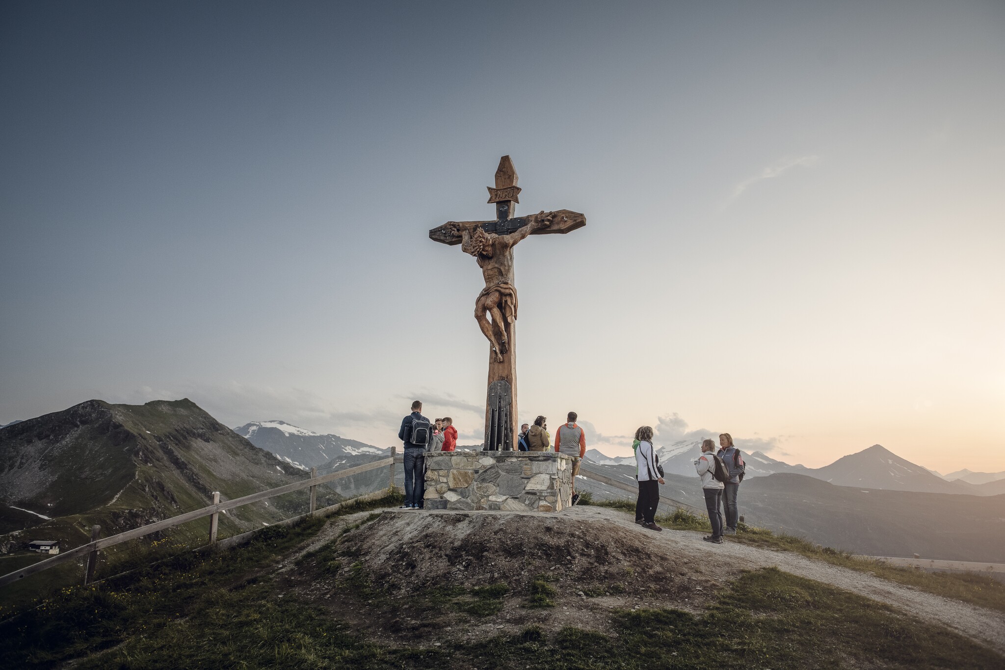
The starting point is the bottom station of the Stubnerkogel lift. You quickly gain altitude on the relatively steep trail until you reach the middle station. From there you leave the forest behind and follow the hiking trail to the summit, which rewards you with a breathtaking 360-degree panorama.
Bilety Dni Jogi
-
Region
-
Doświadczenia
-
Witalność
-
Wydarzenia
-
Usługi