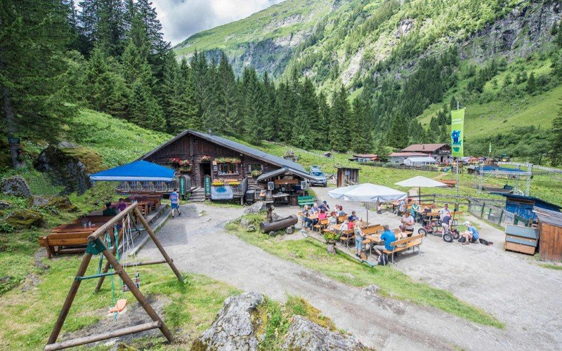
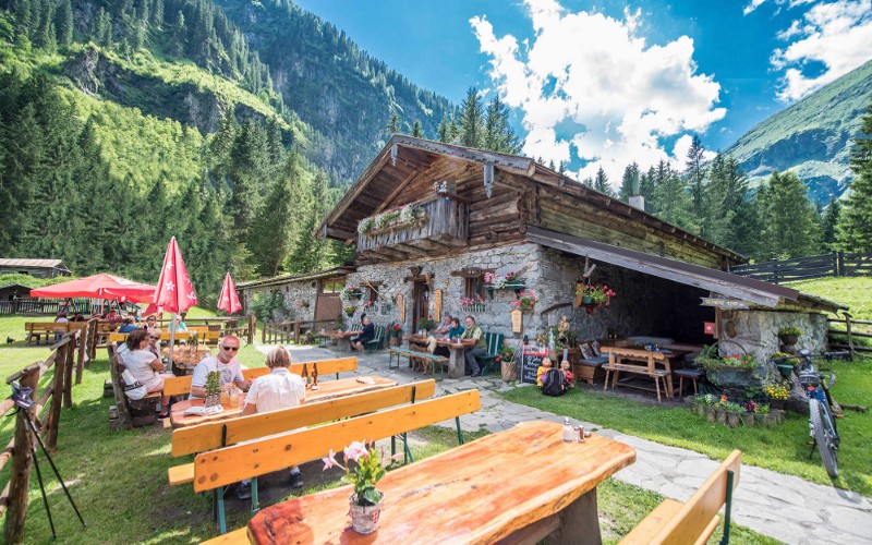
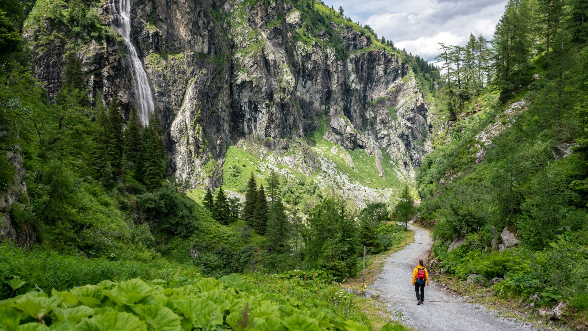
The hike begins with a view of the valley bottom of Sportgastein and the Hohe Tauern. Following the banks of a two-tone river, the path takes us past water-storage caverns to the Nassfeld power station. From there, an old lane – formerly, the Nassfeld Road, once an important artery for trade and mining – towards of Böckstein. The path is flanked by numerous nature attractions – the Bärenfall, Schleierfall und Kesselfall (cascades) plunge thunderously from the mountainsides. The history of mining becomes apparent along this path, as do relicts from the First World War – the “Russian Bridge” was actually built during WWI by Russian prisoners of war. Both of the Astenalm huts (staffed) are some of the oldest in Gastein Valley, inviting passers-by to stop in for refreshments. The theme path of the Gastein Healing Gallery runs past a former smelting hut and powder house on its way from Altböckstein to Böckstein. The beautiful pilgrimage church known as “Maria zum Guten Rat”, which stands on a hilltop, provides a great view of the Böckstein settlement.
Bilety Dni Jogi
-
Region
-
Doświadczenia
-
Witalność
-
Wydarzenia
-
Usługi