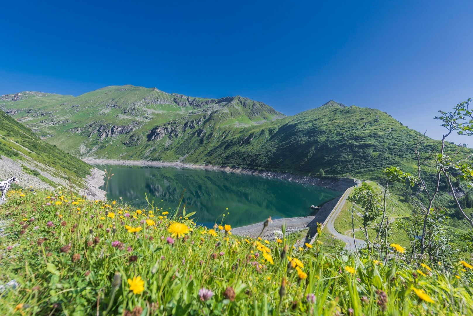
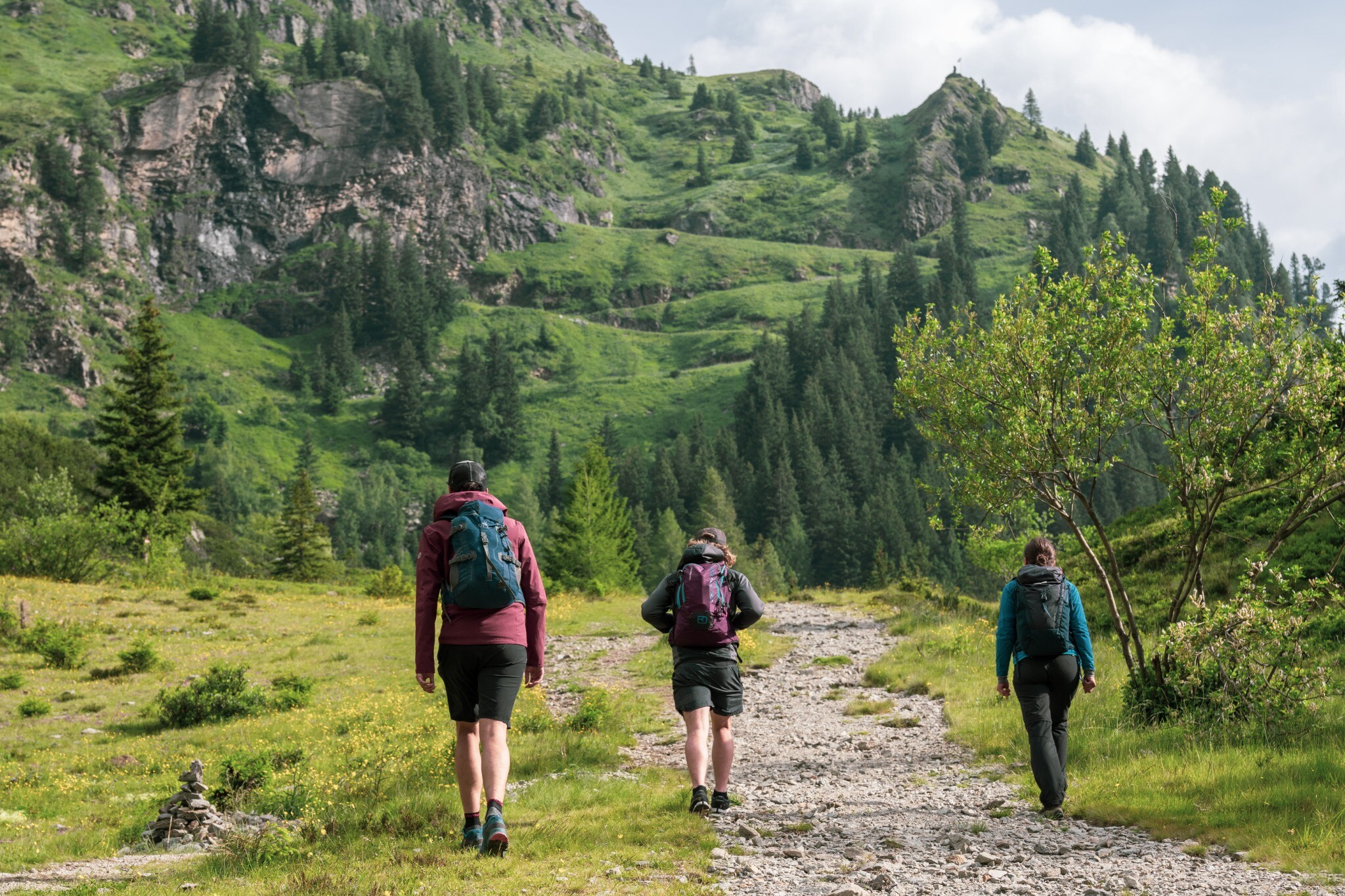
The hike starts next to the Valeriehaus at the Sportgastein car park. Hike along the goods path to the lower Bockhartsee lake and head north over the dam wall. Continue on a steep path to the Miesbichlscharte. From there the trail leads along the ridge of the Ortbergscharte below the Zittrauer Tisch and Tischkogel to the Stubnerkogelbahn mountain station.
Tickets Yoga Dagen
-
Regio
-
Ervaringen
-
Vitaliteit
-
Evenementen
-
Service