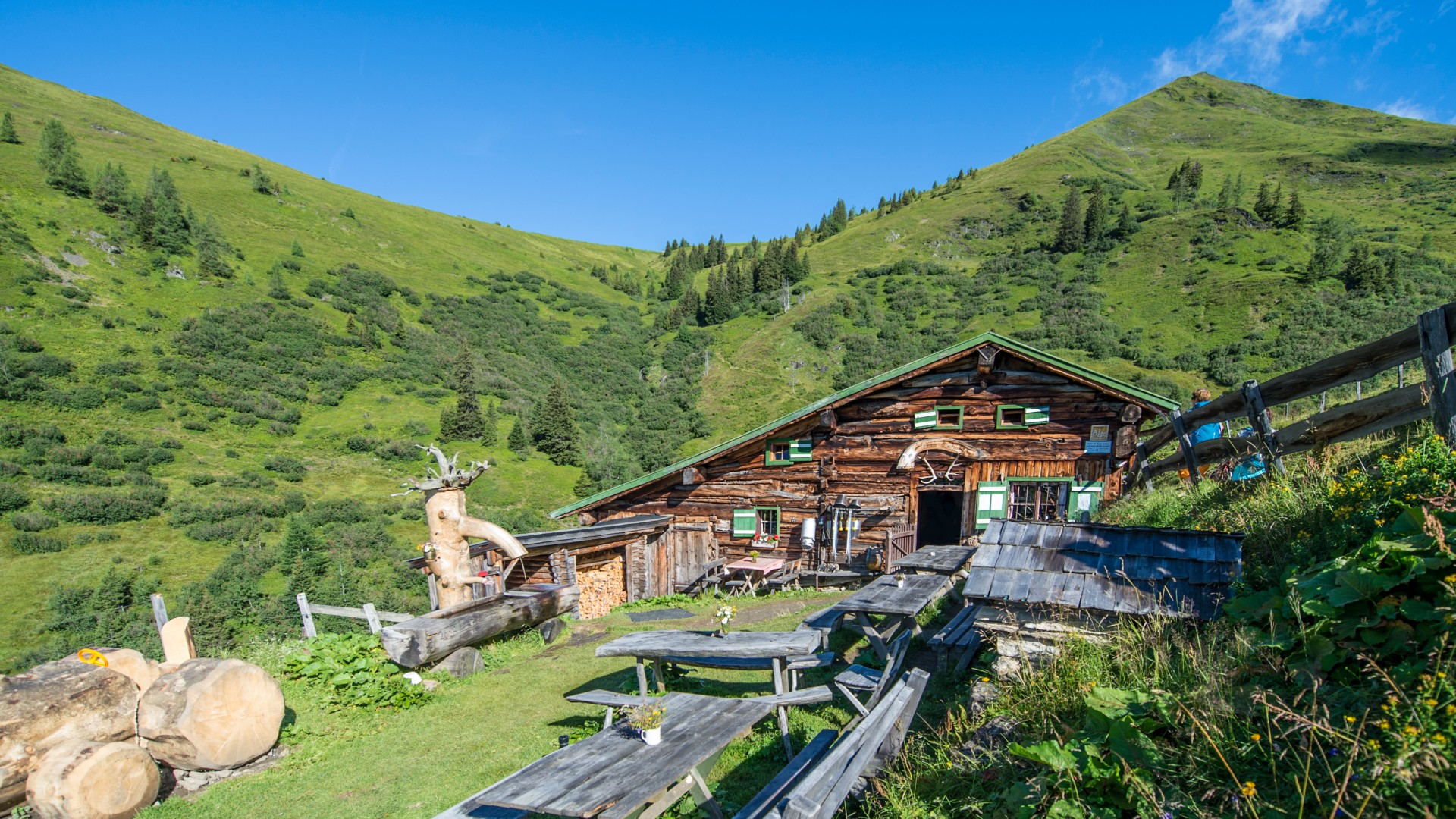
From Dorfgastein, first drive in the direction of Unterberg and then turn left uphill at the wood storage area in the direction of Strohlehenalm or Präau Alm. After a few serpentines you reach the junction Präau Alm/Stohlehenalm. If you want to reach the Präau Alm, continue straight ahead through the Dorfer Wald forest. The road winds steadily uphill around the Tagkogel and leads to the Jägerhäusl. Here the road splits and you take the steeper path up to the right. The last 200 metres in altitude are a real challenge, even for bikers with good physical condition. But the beautifully situated Präau Alm soon makes you forget all your exertions.
Tickets Yoga Dagen
-
Regio
-
Ervaringen
-
Vitaliteit
-
Evenementen
-
Service