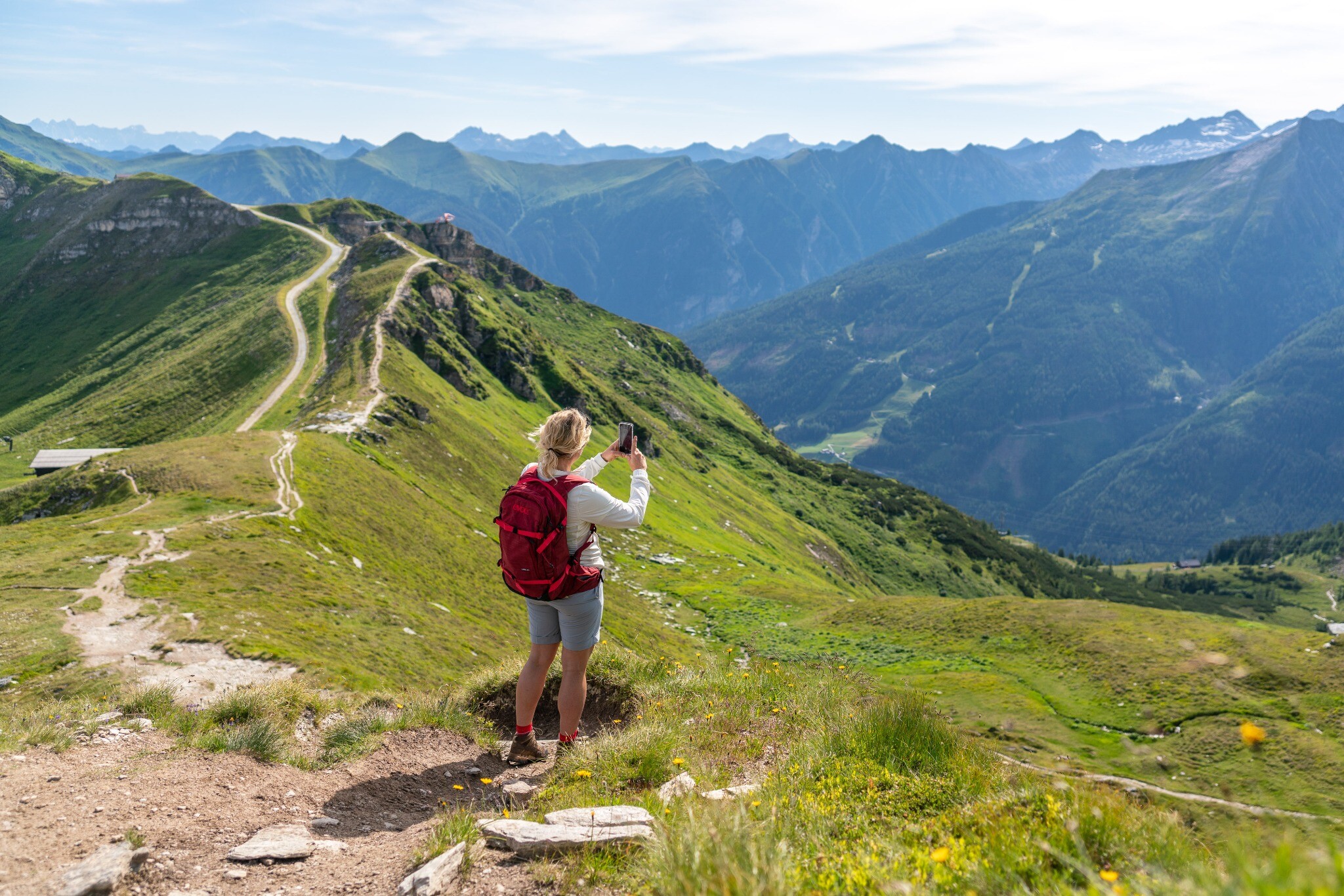
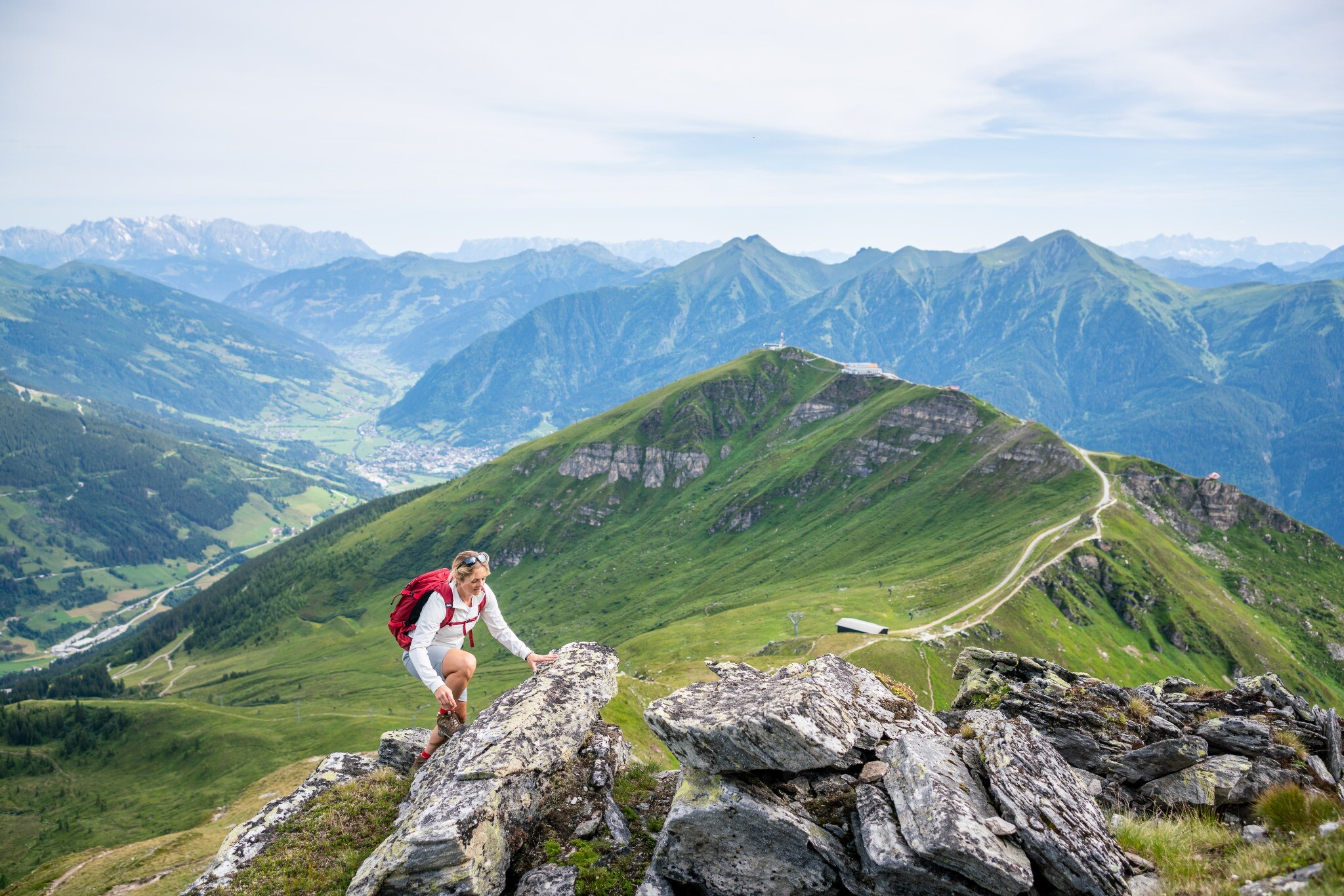
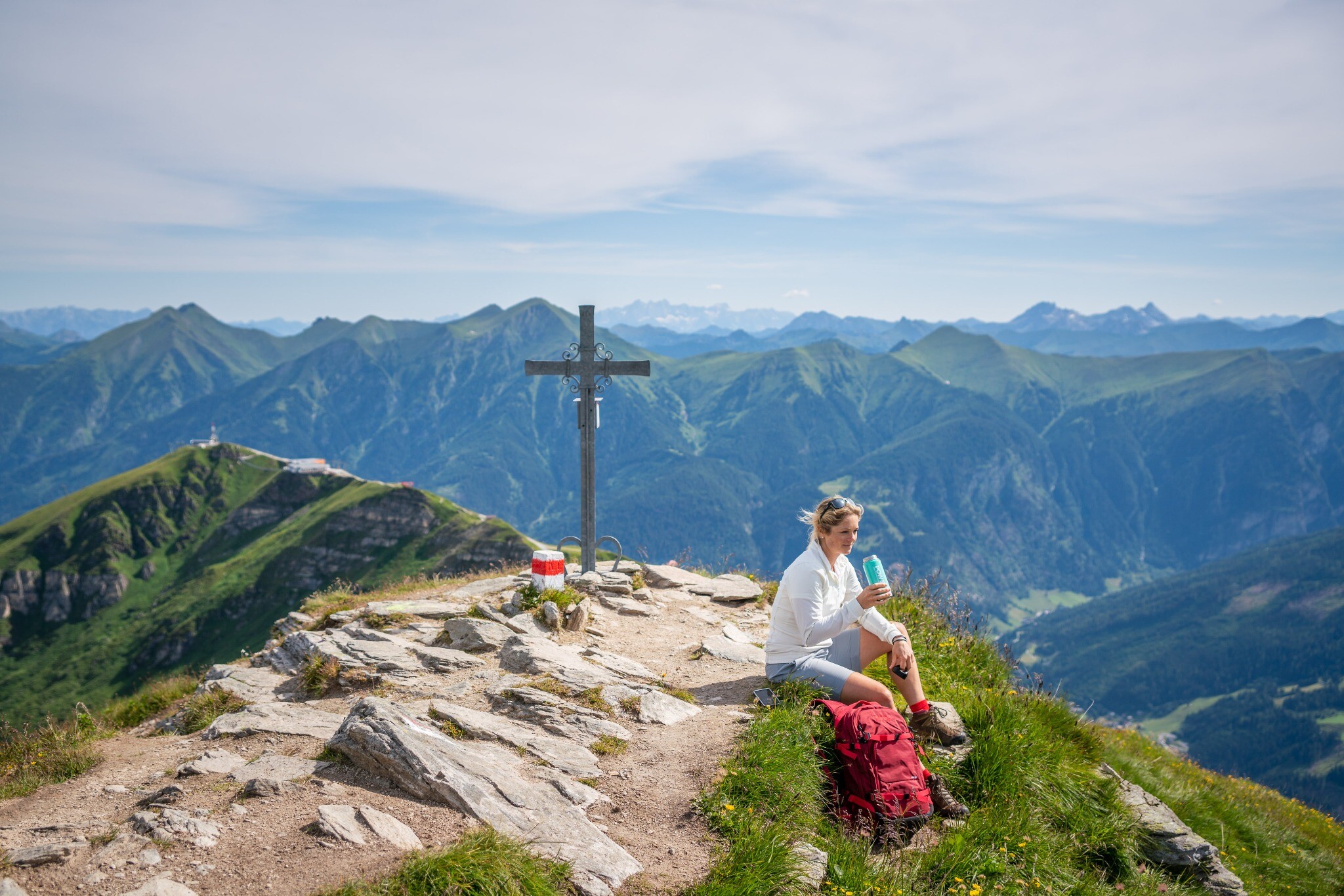
The Stubnerkogel is the viewing mountain par excellence. On a clear day you can even see Austria's highest mountain, the Großglockner, from the viewing platform. The 140 m long suspension bridge promises thrills and soft knees. The trail continues to the summit of the Zittrauer Tisch. Surefootedness and a head for heights are absolutely necessary. The path over the east ridge is a little more gentle and less stony. The summit of the Zittrauer Tisch is breathtaking - all-round view, 360 ° panorama and a view of the entire Gastein Valley. The view of the Erzwies area, former mining area, and the Erzwies lake is imposing.
Billetter til Yoga Days
-
Region
-
Oplevelser
-
Vitalitet
-
Begivenheder
-
Service