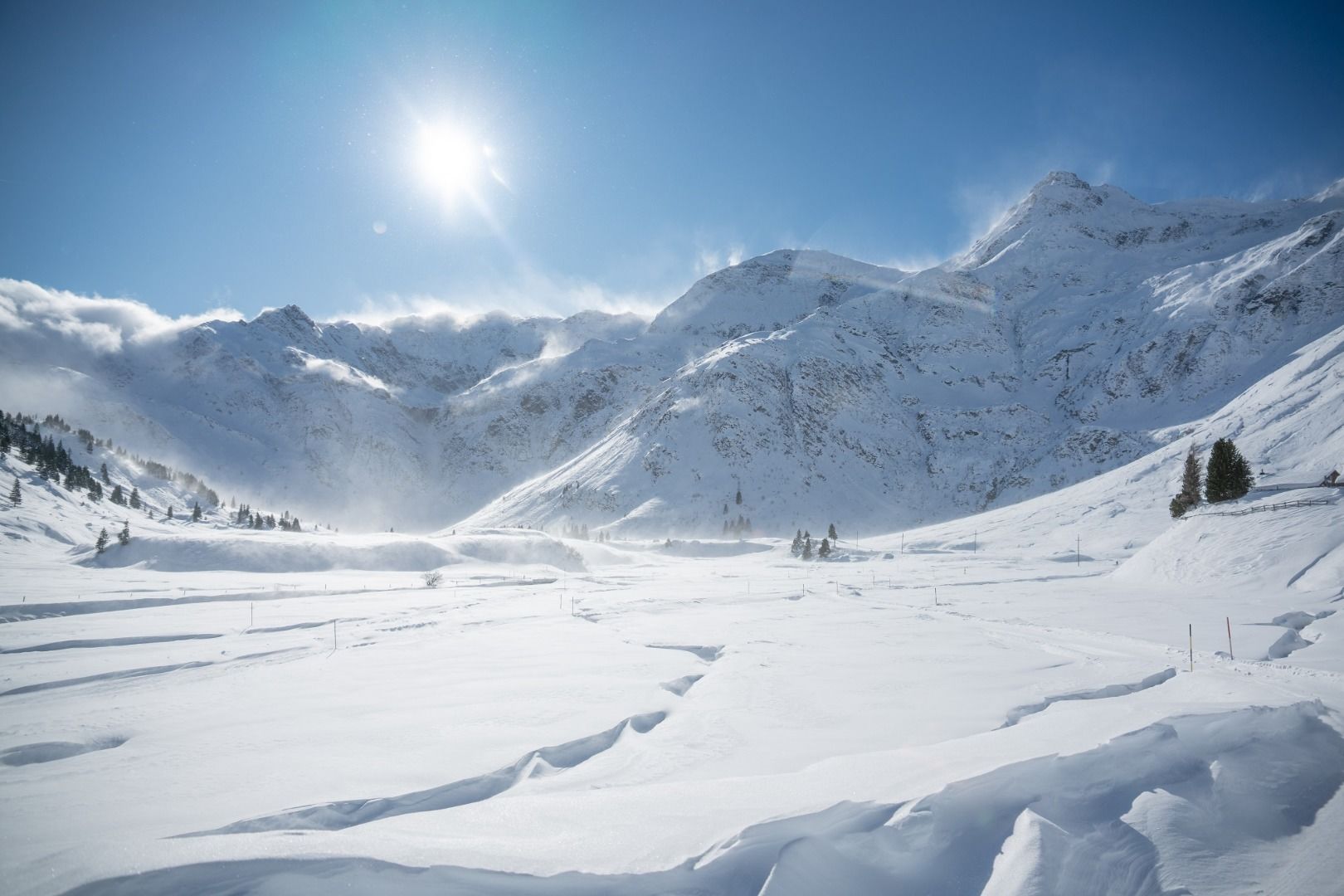
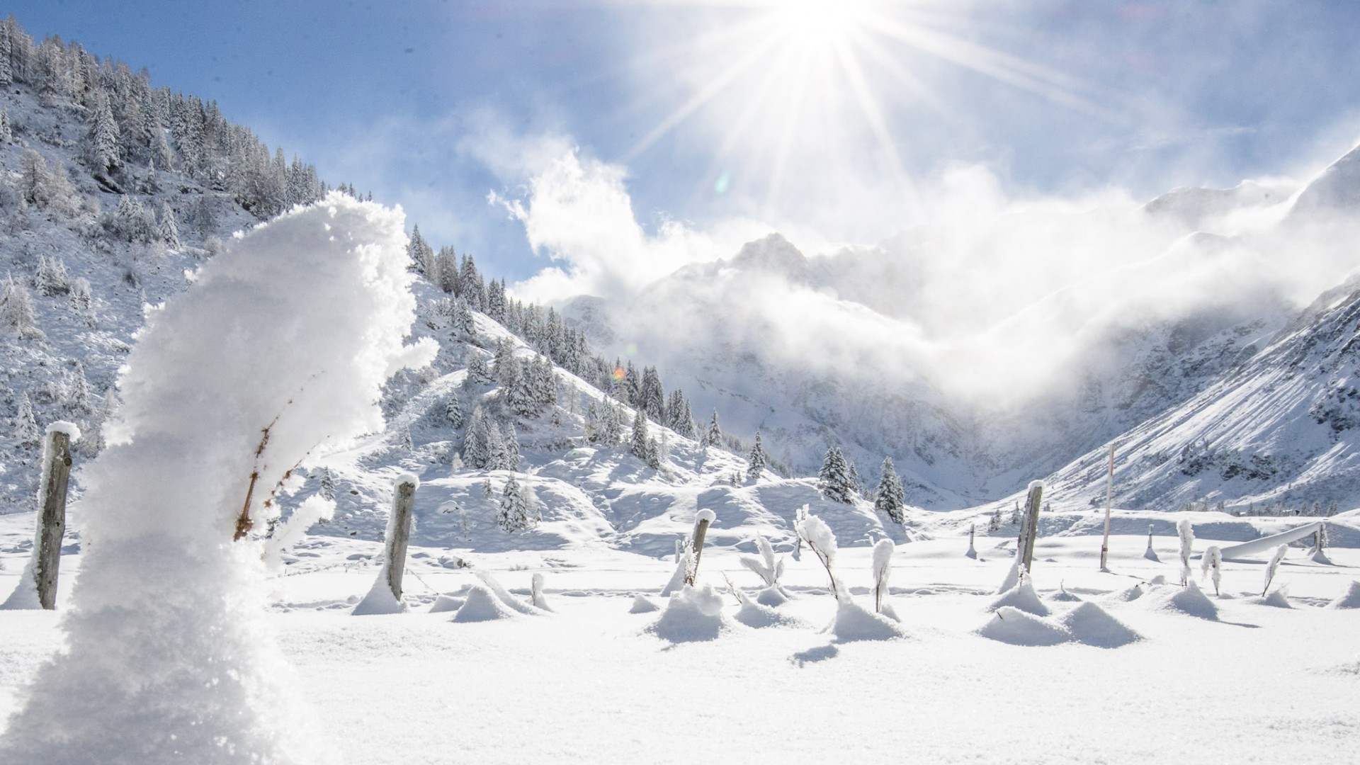
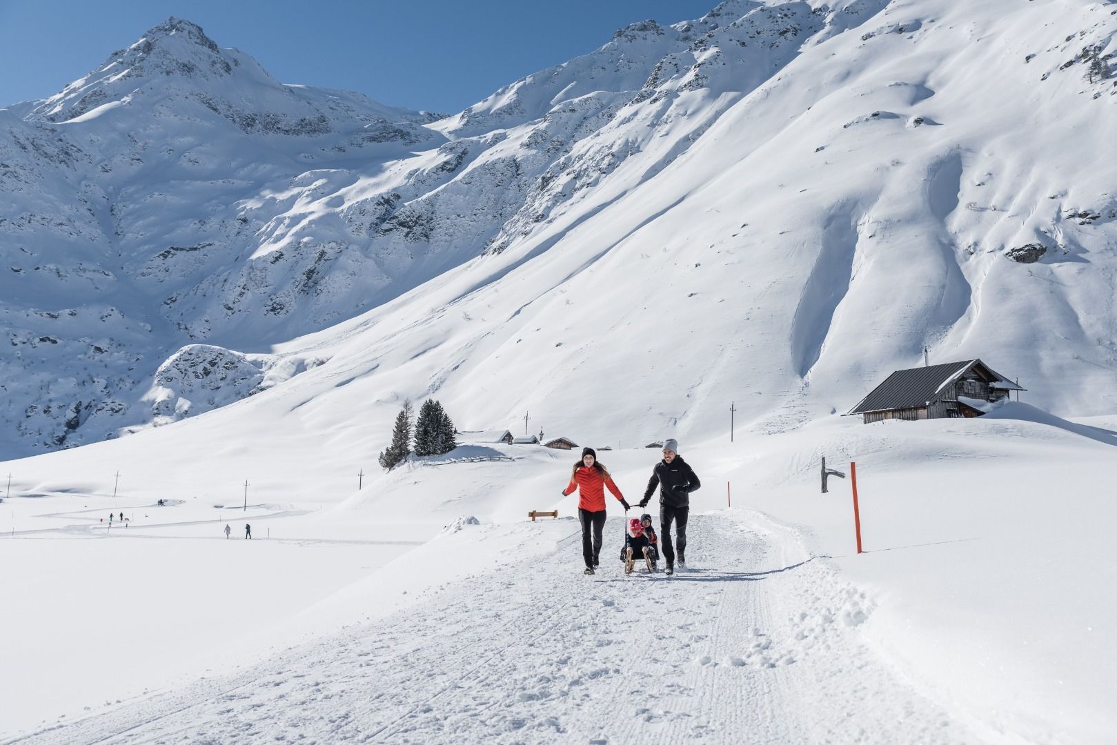
The high valley of Sportgastein, with its broad, sunny valley floor, is the perfect starting point for hikers, cross-country skiers and skiers. Numerous restaurants invite you to stop by for some welcome rest and refreshments. Sportgastein is easy to reach by bus or car (toll road).
Walk along the "Talrunde" on the bottom of the valley and enjoy the view of the mountains higher than 3000 meters in the nationalpark Hohe Tauern.
Billetter til Yoga Days
-
Region
-
Oplevelser
-
Vitalitet
-
Begivenheder
-
Service