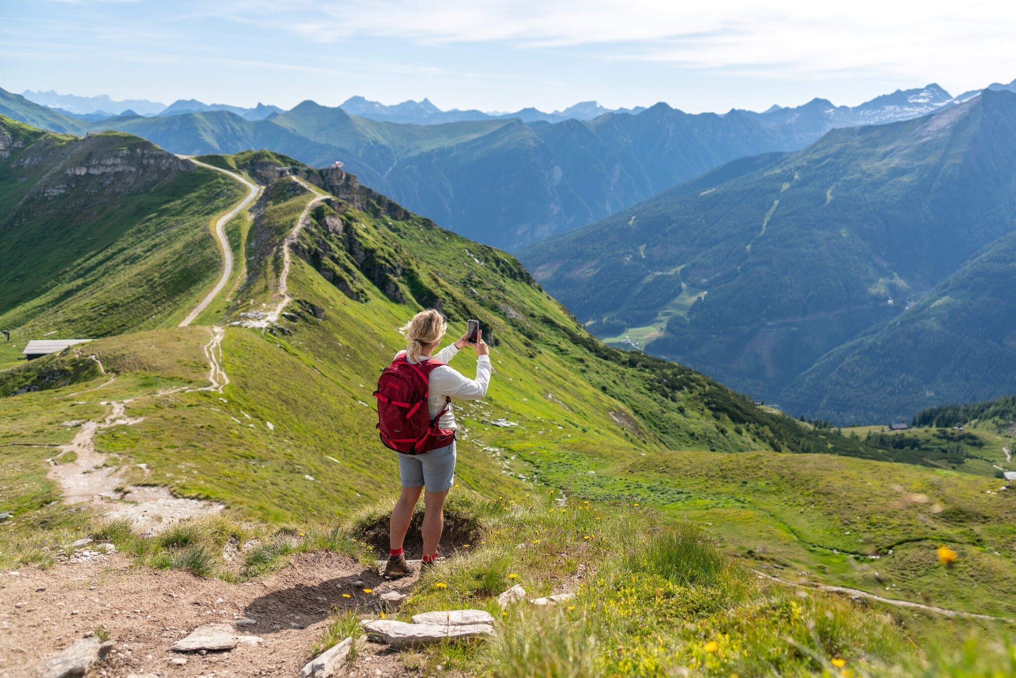
The hiking route begins in Altböckstein to the left of Hotel Rader. The ascent to the Böckfeldalm initially goes through woodland, is somewhat steep but worth the effort. Above the Böckfeldalm, you cross a partly damp and swampy meadow. The trail continues through a wooded area and leads you to the Zittraueralm. This is a wonderful place to stop for a break. Follow the path through the Zittrauermulde towards Tischkogel. At the top, follow the hiking trail to the mountain station of the Stubnerkogel cable car, with which you can return to the valley.
