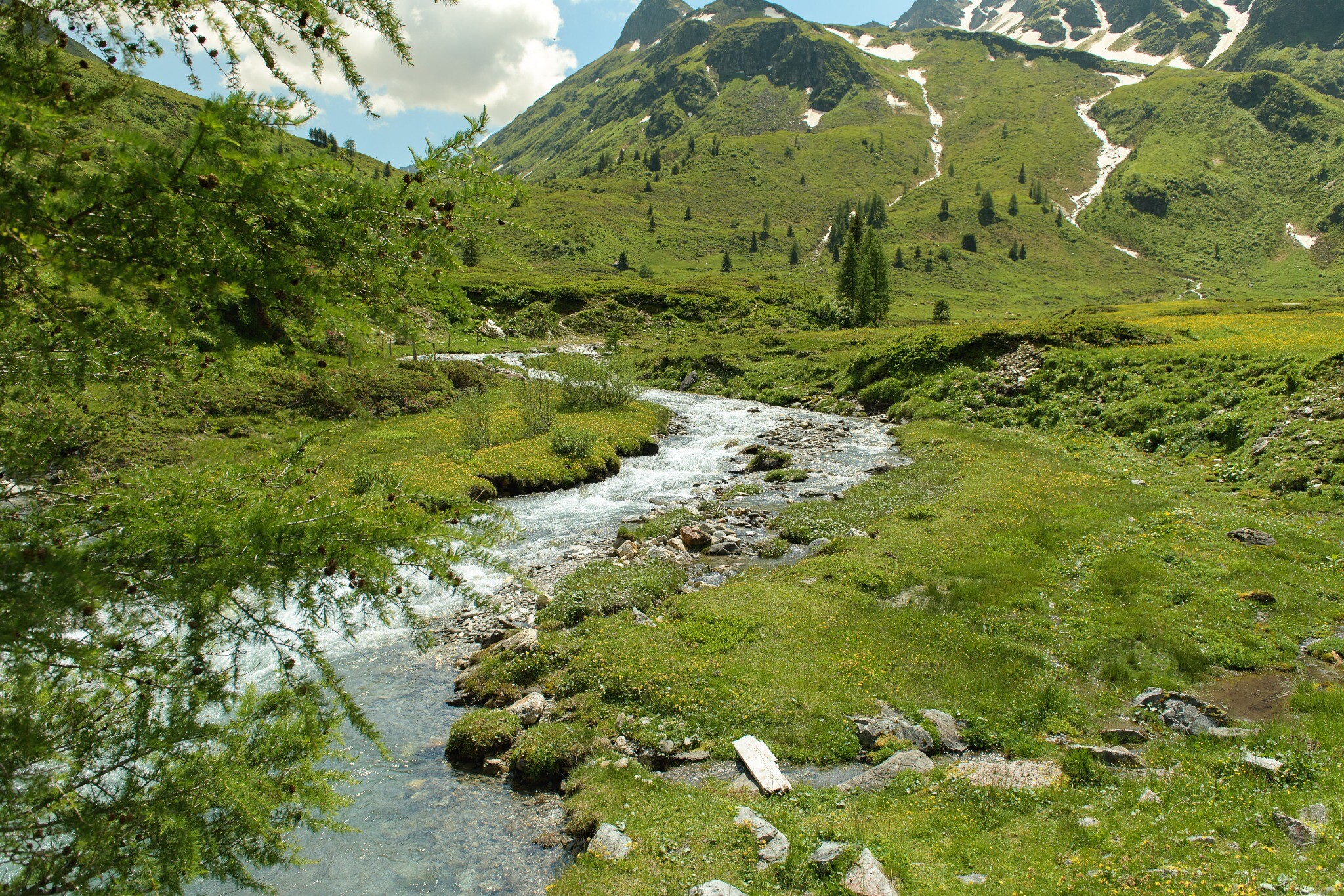
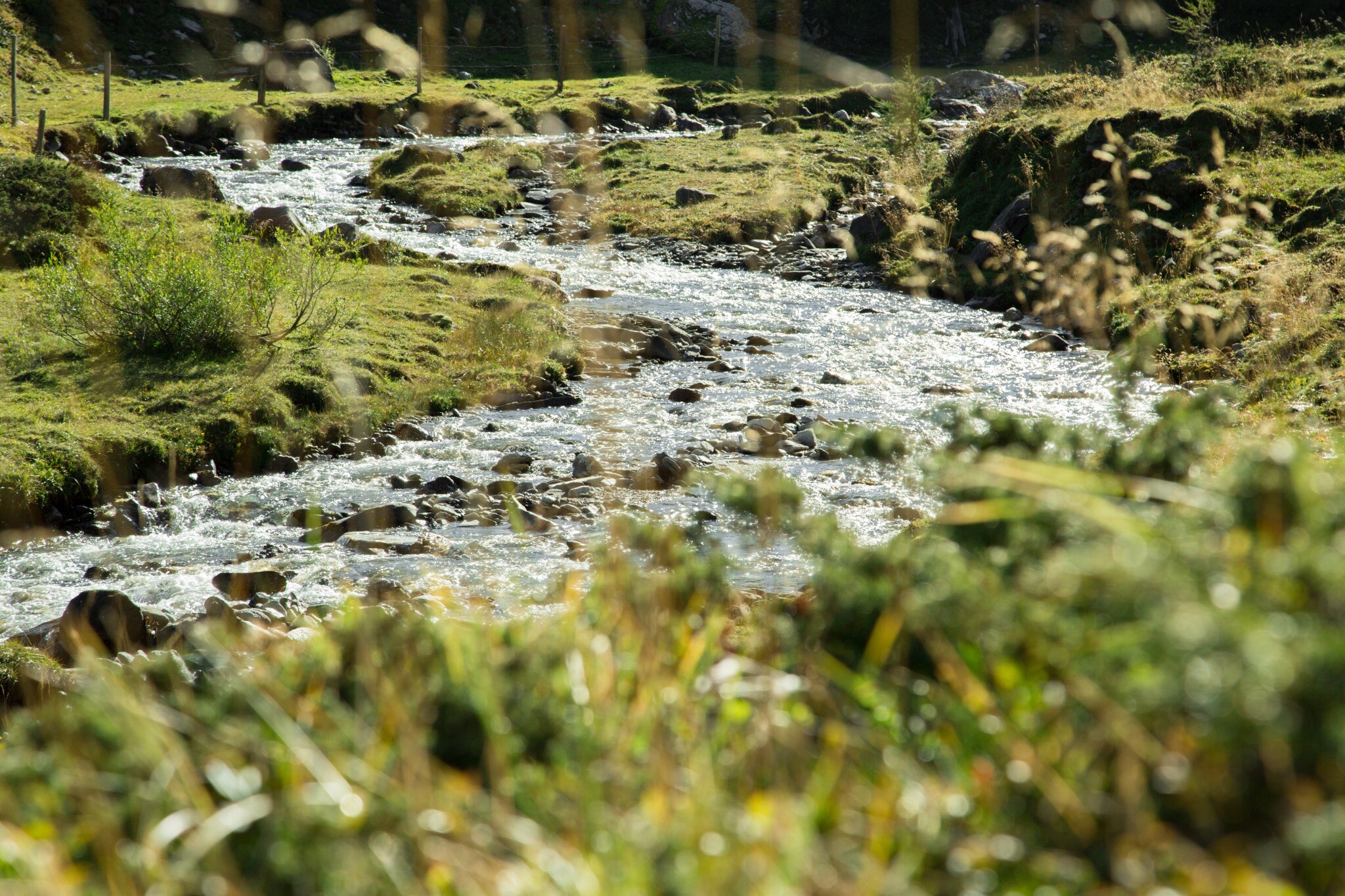
On this trail in the Hohe Tauern National Park, you cannot miss the glacier-covered peaks of the Goldberg group across the alpine pastures. From moorland lakes to flowering mountain meadows, you will find everything you need to know about the flora and fauna. After the eastern bank of the Naßfeldbach stream, you come to an information board where the circular trail divides.
Billetter til Yoga Days
-
Region
-
Oplevelser
-
Vitalitet
-
Begivenheder
-
Service