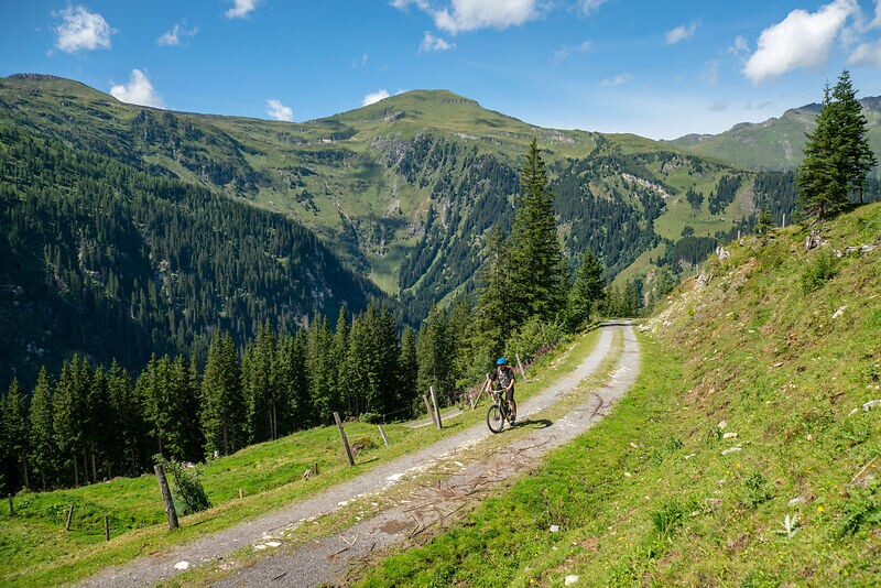
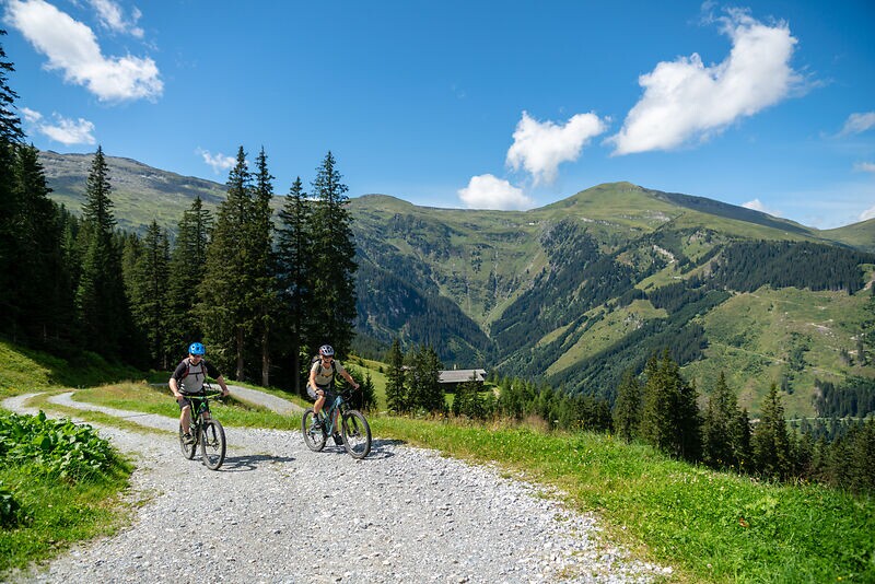
The starting point is the bike starting point in the center of Bad Hofgastein. Follow the signs up to the Angertal. From there, the gravel road begins. Initially you follow the goods road in the direction of the Stubnerkogel mountain station until you reach the Jungeralm/Schattbachalm junction. In a wide serpentine you cross the lift lines of the Angertalbahn and the Senderbahn. Here the path winds moderately uphill to the Schattbachalm.
Billetter til Yoga Days
-
Region
-
Oplevelser
-
Vitalitet
-
Begivenheder
-
Service